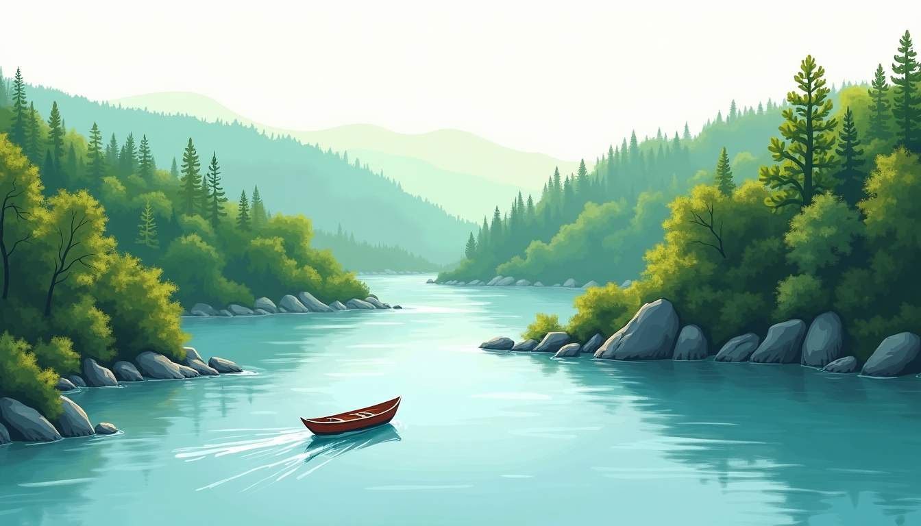
For boaters seeking a mix of wide-open water, quiet coves, and scenic river corridors, the waterways surrounding Tennessee National offer a rich playground. This guide outlines top routes, launch points, seasons to consider, and practical safety and etiquette tips to help plan a rewarding outing on the water. Whether looking for a relaxed day cruising with family, photography opportunities, or an adventurous multi-stop trip that mixes exploration and relaxation, the following routes and advice make planning straightforward and enjoyable.
The region is defined by a network of reservoirs and river corridors that support diverse boating experiences. Major lakes and rivers in the area include large reservoirs with expansive cruising lanes and sheltered arms lined with hardwood ridges, plus river stretches that offer current, shoals, and varying depths. These waterways are commonly used for recreational boating, angling, and nature observation, and they host a mix of motorized boats, kayaks, and paddlesports.
Seasonal water levels, shoreline development, and local wildlife patterns shape how each route is experienced. Spring often brings higher water and vibrant scenery, summer is busiest for recreation and swimming, and autumn offers calm conditions and clear visibility—ideal for photography and wildlife viewing.
Many of the lakes and rivers support rich fish populations, including bass, crappie, catfish, and trout, attracting anglers year-round. The combination of deep channels and shallow coves creates diverse habitats that sustain fish and other aquatic life. Several public boat launches and marinas dot the shoreline, providing easy access points and amenities such as boat rentals, bait shops, and picnic areas.
Along the waterways, visitors can find an abundance of wildlife including herons, eagles, deer, and occasionally river otters. The wooded shorelines offer excellent opportunities for bird watching and quiet paddling in more secluded spots. Efforts by local conservation groups and the National Park Service help maintain water quality and habitat integrity, ensuring the waterways remain pristine and enjoyable for future generations.
This route works well for families seeking a relaxed cruise with frequent opportunities to pull in at a quiet cove or a public park. The loop follows the reservoir’s main channel for smoother water and then explores two or three protected inlets where swimmers and picnickers often gather. Navigation is straightforward with wide turning radii and well-marked buoys along the channel.
Recommended activities include shallow-water wading near sandy points, shoreline picnicking, and casual wildlife watching. Launch facilities at the main marina provide easy access to restrooms and fuel, making this route convenient for first-time visitors and small powerboats.
This route takes boaters upstream along a shaded river corridor to a notable bluff and small, historic landing. The channel narrows in places and requires attention to submerged shoals and seasonal debris, so it’s best suited to operators comfortable with basic river navigation. Paddlecraft and smaller boats benefit from the more intimate scale of the corridor.
Along the way, expect mixed hardwood forest stretched to the waterline, excellent birding opportunities, and several slow-moving eddies that make nice stops for fishing. Timing the trip around slower current conditions makes passages through the narrower sections easier and more enjoyable.
For those wanting a longer cruise or a powerboat-focused run, the main-channel sprint opens out to large expanses of water suitable for higher speeds and wide-ranging navigation. This route is ideal for operators who prioritize distance, water-skiing, or towing inflatables. The channel is typically deeper and well-buoyed, but wakes can be significant when traffic is heavy.
Launch early to avoid midday congestion and pick a day with steady wind forecasts to reduce choppy conditions. Fuel planning and checking for active events or regattas helps avoid conflicts on busy weekends.
Multi-stop routes let boaters combine exploration with relaxed onshore breaks. Popular itineraries link a marina launch point with a mid-route island for lunch and a downstream cove for a late-afternoon swim, returning via the scenic shoreline to catch sunset light on the trees. Planning should include contingency for changing weather and daylight.

Several islands and sandbars provide prime picnic locations. These spots are best reached during moderate to low winds when the water is calmer around exposed banks. Respect private-property signage, and use designated public beaches or undeveloped islands where day-use is allowed.
Bring portable shade, anchored coolers for food and drinks, and a small anchor or mooring line to keep the boat from drifting off while anchored for lunch. Leave no trace by bagging trash and removing all supplies upon departure.
A sunset run takes advantage of cooler temperatures and often calmer winds; a night glide requires proper lighting, GPS, and knowledge of local navigation lights. Stick to main channels after dark and maintain safe speeds. Night boating can reveal nocturnal wildlife activity along the shorelines and offers a peaceful contrast to daytime crowds.
Ensure all required navigation lights are operational and that a charged handheld spotlight and VHF radio are aboard. Inform a shore contact of estimated return times for additional safety.
Launch options include public boat ramps at several marinas, smaller neighborhood ramps, and kayak put-ins for paddlecraft. Larger marinas offer fuel, pump-out stations, restroom facilities, and short-term docking, while smaller ramps may lack services and require self-sufficiency.
Parking can be limited on popular weekends—arrive early or during off-peak hours to secure a spot. Many ramps have day-use fees; check local signage or municipal websites for current rates and regulations, including any seasonal restrictions on launches or size limits for trailers.
Safety is the foundation of any enjoyable boating outing. Knowing and following local rules, keeping a lookout for changing conditions, and carrying the right equipment reduces risk and helps ensure a smooth trip for everyone aboard.

Life jackets sized appropriately for all passengers, a throwable flotation device, and a VHF radio are the primary safety items. Add a charged mobile phone in a waterproof case, an emergency whistle, and a basic first-aid kit. GPS or a chartplotter improves situational awareness, especially in low visibility or on larger reservoirs.
For overnight or longer trips, bring extra fuel, potable water, and a battery-powered lantern. A small toolkit and spare parts like propeller cotter pins, fuel filters, and fuses can prevent a minor mechanical issue from becoming a major problem.
Observe posted speed limits and no-wake zones—these protect shoreline vegetation and reduce hazards near docks and swimmers. When entering narrow channels or marinas, slow down and signal intentions early. Maintain a safe distance from other boats, especially personal watercraft and kayaks, which can be harder to see in rough water or low light.
Charts and local navigation markers should be consulted frequently. Shallow areas can shift seasonally, and submerged hazards such as fallen trees or abandoned structures may not always be charted. When in doubt, reduce speed and probe the depth with caution.
Fishing opportunities are abundant, from largemouth bass to sunfish and catfish along deeper channels. Respect catch-and-release best practices where appropriate, use barbless hooks if participating in tournaments or community events that encourage conservation, and properly secure fish waste to avoid attracting nuisance wildlife near launch areas.
Wildlife viewing rewards quiet, slow navigation near coves and flooded timber. Maintain a respectful distance from nesting or roosting birds and avoid disturbing mammals along the shoreline. Many areas are habitat for migratory birds and protected species—observe local guidelines for wildlife protection and support conservation by participating in clean-up events when possible.
Seasons strongly influence water conditions, wildlife behavior, and access to launch facilities. Spring rains can raise water levels and submerge newly formed shoals; summer brings warmer water, higher traffic, and more stable weather; autumn often delivers clear skies and reduced crowds; winter boating is possible but requires extra planning for colder temperatures and fewer services.

Check local forecasts and current water-level reports before departure. Sudden storms can create heavy winds and reduced visibility, while falling water levels can expose hazards near shallow banks. Many regional water management agencies provide online gauges and advisories—consult these resources frequently if planning a longer trip.
Wind direction and speed are especially important on larger reservoirs, as conditions can change quickly and generate significant chop that affects smaller boats and towed inflatables.
Courtesy on the water helps everyone enjoy the natural amenities. Yield to larger vessels in narrow channels, slow to minimize wake near shorelines and swimmers, and announce intentions clearly when passing other boaters. If anchoring near other groups, give them plenty of space and avoid creating traffic bottlenecks near popular coves.
Participation in local events supports boating communities. Many towns host regattas, fishing tournaments, and community clean-ups; those activities often bring additional transient traffic and temporary restrictions—check event calendars when planning a trip on weekends.
Before heading out, complete a short checklist: verify fuel and engine condition, confirm life jackets and safety gear are aboard, review maps and waypoints, check weather and water-level forecasts, and leave a float plan with a trusted contact. Returning earlier than planned if weather appears to be deteriorating is a simple, effective safety choice.
Understanding local regulations, respecting wildlife and private property, and maintaining a cautious, prepared approach will make boating around Tennessee National both enjoyable and sustainable for all who use these waterways.
After exploring the beautiful boating trails and waterways near Tennessee National, imagine calling this premier gated community your home. Enjoy luxury living with exclusive access to a Greg Norman Signature Golf Course, a private marina, waterfront dining, and over 20 exceptional amenities. Whether you prefer a move-in ready home or a custom build, Tennessee National offers the perfect setting for resort-style living surrounded by nature’s best. Schedule a private tour today and start making memories on and off the water.